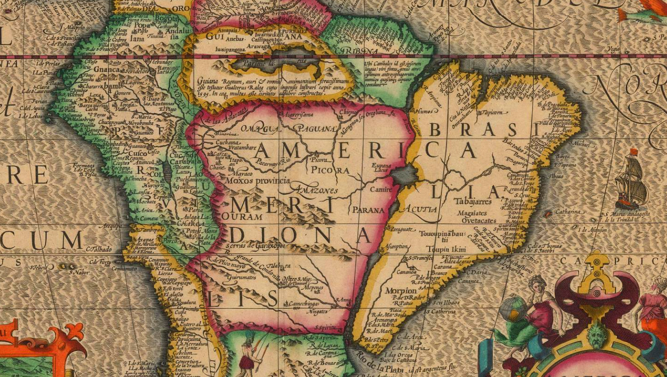
Dutch Golden Age map of South America based on the map by Plancius, de Mercator Hondius
1620
06/04/2024 20:09:16
Mapa America Meriodionalis
Data: 01/01/1620
Créditos: Mercator Hondius
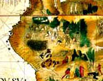
Dutch Golden Age map of South America based on the map by Plancius. Embellished with a large vignette of the city of Cuzco as well as a sea monsters and ships.This is one of the great early maps of South America available commercially. The shape is remarcably accurate for its time reflecting the extraordinary amount of European activity around the shores of the continent, partly due to Spanish and Portuguese settlement but also due to circumnavigation by English, Dutch and French mariners. Little is shown in the interior, as almost no internal exploration had been done although there is a vignette of one of the legendary Patagonian giants in the Southern part of the continent and the upper part shows a vast body of water named Lake Parime under which a caption refers to an expedition led by Walter Raleigh in search of El Dorado in 1595. French text on verso. Original hand colour. [SAM3333]
*Dutch Golden Age map of South America based on the map by Plancius, de Mercator Hondius
Talvez você case, talvez não.
Talvez tenha filhos, talvez não.
Talvez se divorcie aos 40, talvez dance ciranda em suas bodas de diamante.
Faça o que fizer, não se auto congratule demais, nem seja severo demais com você.
As Suas escolhas tem sempre metade das chances de dar certo, é assim pra todo mundo.