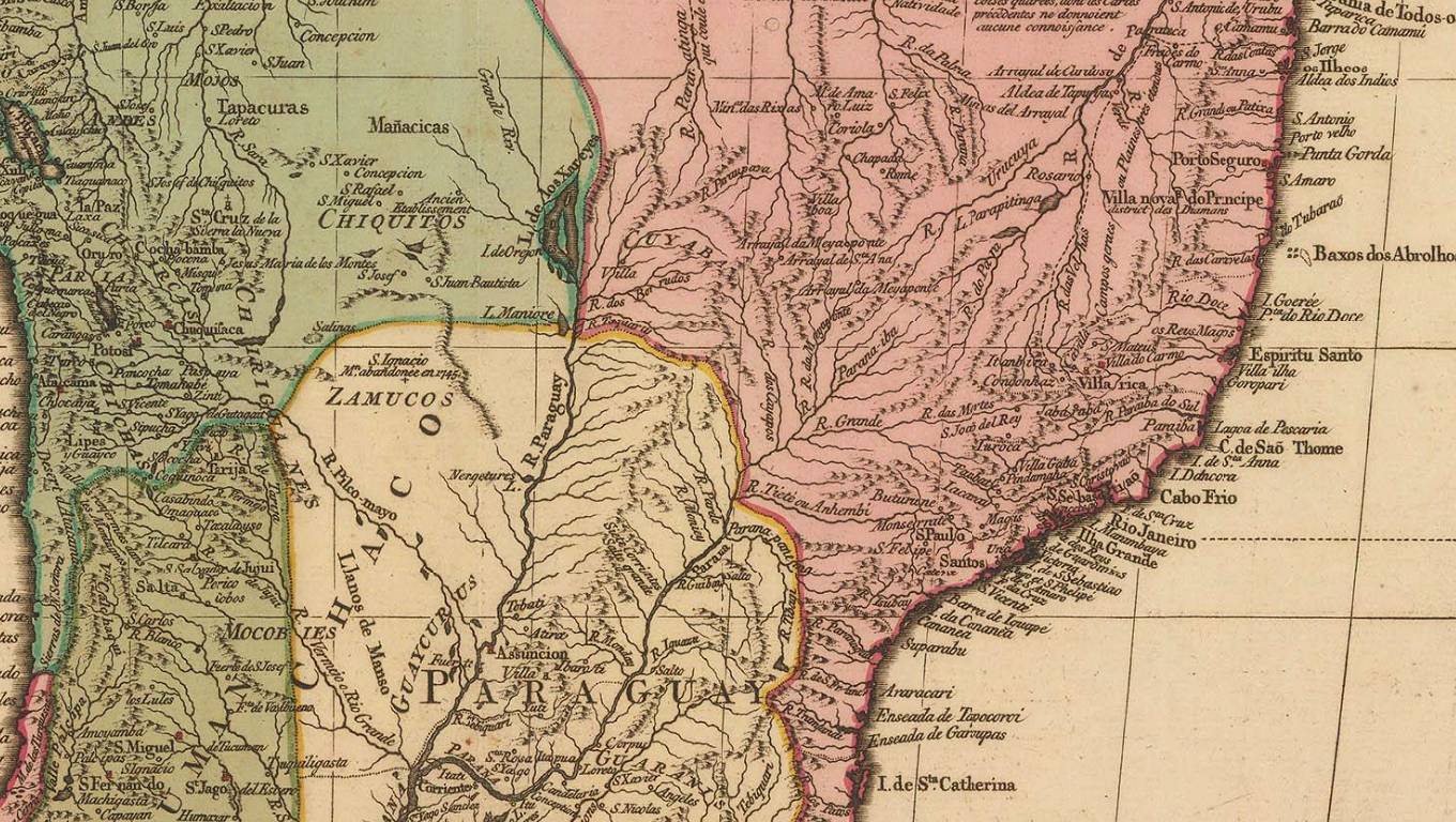
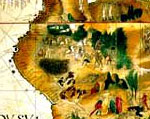
Finely engraved and beautiful map of South America with a large illustrated cartouche on the lower right showing South American people and erupting volcanoes.Geographically, the map is based on the survey by D´Anville and the political divisions are based on Spanish and Portuguese divisions but large parts of the interior are left blank due to lack of knowledge, although several text panels attempt to enlighten the reader. This is one of the most attractive 18th century maps of the continent. Original hand colour. [SAM3332]
Capelas ipabem *Primeiro Congresso de História Nacional: Explorações Geográficas, Arqueológicas e Etnográficas
26431 173
“
Não é necessário Neste Estado tanto negro da Guiné, além do mais andam alevantados e ninguém pode com eles e podem crescer de maneira que custa muito trabalho desbaratá-los.